India on Tuesday slammed Pakistan, saying it is obsessed with territorial aggrandisement after the Imran Khan government issued a new political map which includes parts of Gujarat and the Union Territories of Ladakh and Jammu and Kashmir.
Pakistan released its official “political map” which includes the erstwhile princely states of Junagadh and Jammu & Kashmir, which acceded to India in 1947 when the India subcontinent was Partitioned. However, Islamabad left the map open-ended in the UT of Ladakh, a part of which is under the Chinese occupation and where China has been locked in a faceoff with India along the Line of Actual Control (LAC).
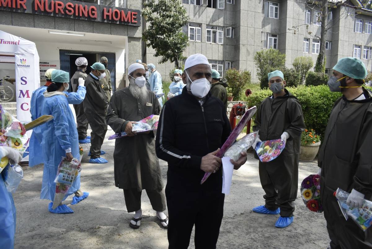
The move comes a day ahead of the first anniversary of the reorganisation of the erstwhile Jammu and Kashmir state, which resulted in the nullification of its special status and creation of two UTs — Ladakh and Jammu and Kashmir — last year.
Reacting sharply to Islamabad’s offensive, the Ministry of External Affairs in New Delhi in a statement rubbished it is as a “so-called political map” of Pakistan released by Prime Minister Imran Khan.
Describing it as “an exercise in political absurdity”, the government said that Pakistan was laying untenable claims to territories in the Indian state of Gujarat and the Indian Union Territories of Jammu and Kashmir and Ladakh.
“These ridiculous assertions have neither legal validity nor international credibility. In fact, this new effort only confirms the reality of Pakistan’s obsession with territorial aggrandisement supported by cross-border terrorism,” the government said.
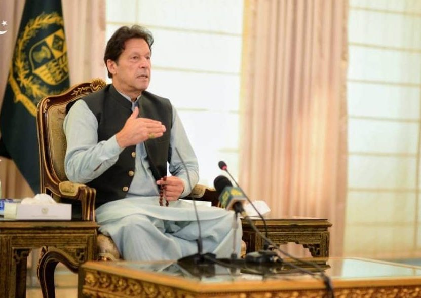
Pakistan Prime Minister Imran Khan while releasing the new political map said that it is “the most historic day in Pakistan’s history”. He said the map represented the aspirations of the entire nation and all the political parties in Pakistan.
The Imran Khan-led government has called for observing August 5 as ‘Yaum-i-Istehsal’ (day of exploitation) in Pakistan.
On the eve of the first anniversary of the revocation of the contentious Article 370 and Article 35A, Pakistan Prime Minister Imran Khan unveiled a new political map which includes the UT of J&K as part of Pakistan on Tuesday. Khan has decided to present the new political map at the United Nations as well.

The Imran Khan cabinet approved the new map in which the complete Jammu and Kashmir, is shown integrated with Pakistan. The illegal map shows J&K as “Indian illegally occupied J&K — disputed territory — final status to be decided in line with relevant UNSC resolutions.” Thereby cocking a snook at the Govt of India.
“This is the most historic day in Pakistan’s history,” he said while addressing a news conference after chairing the meeting of the federal cabinet, which approved the new map on Tuesday.
Khan said that Pakistan has launched a political map which shows the whole Kashmir region, including “Indian Illegally Occupied Jammu and Kashmir” as part of his country’s territory.
In the press conference, Khan said: “Today is a historic day we have launched a new political map of Pakistan which is as per the aspirations of the entire nation as well as the people of Kashmir.”
He also said the new map is backed by all political parties of the country. “This map also opposes the Indian government’s illegal act of August 5 last year,” the prime minister said.

“The settlement of Kashmir dispute only lies in the UN Security Council resolutions.
“Pakistan will continue to make efforts for the people of Kashmir,” said Khan adding that the dispute can only be resolved through political means not military.